
Can drone imagery help you?
Absolutely!
There are so many uses for drone imagery. We provide our clients with aerial photos and videos as well as surveying and map creation. Contact us or read on to learn more about how we can help you.
Interested in creating detailed maps of your property?
The quality and detail of our printed maps will amaze you. The digital files will open the door to many applications, such as monitoring land changes over time, looking for the encroachment of invasive species, monitoring construction progress and much more.
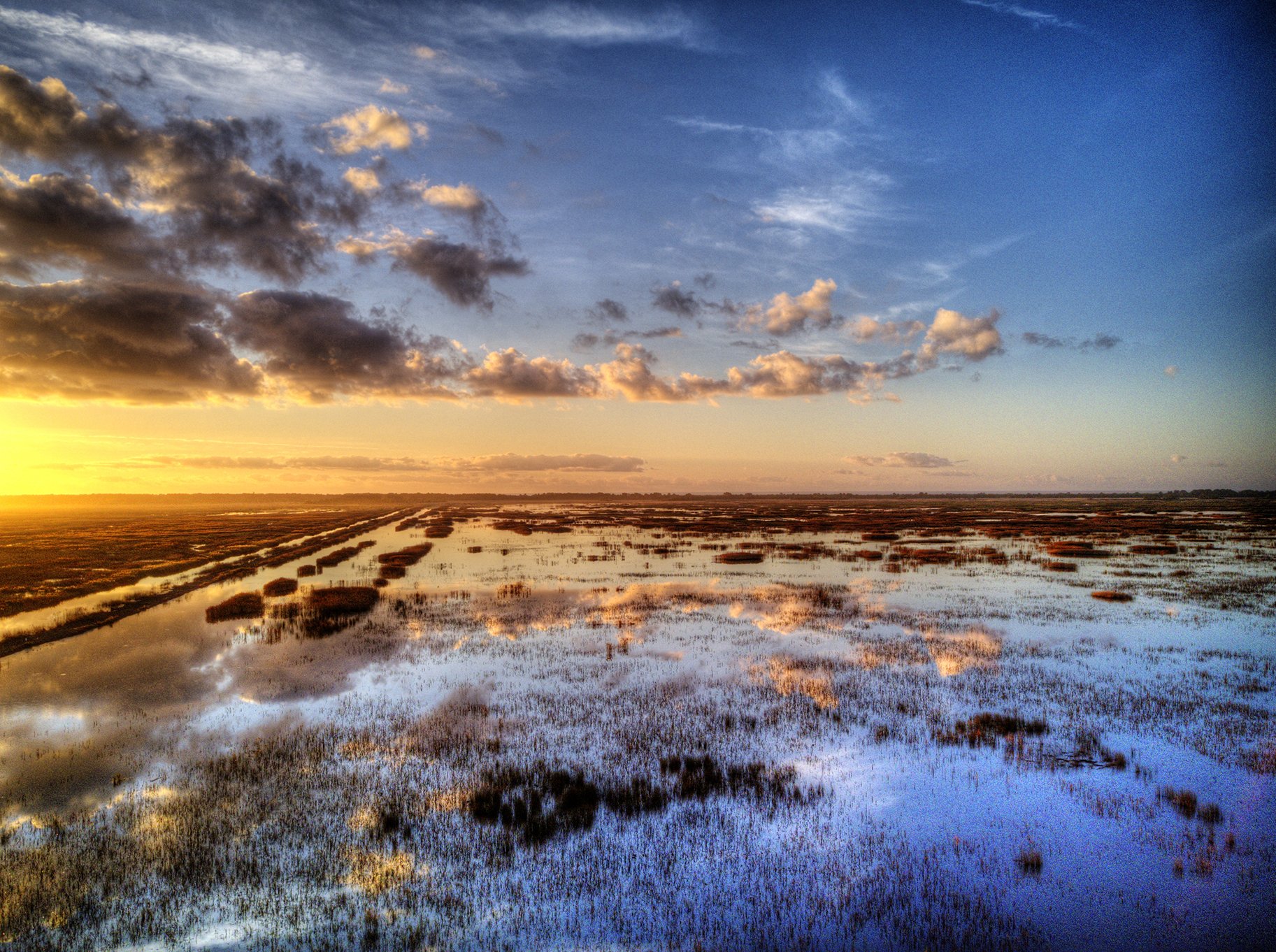
Let us survey your property and create beautiful maps with stunning detail.
-

Planning the survey
We create a survey path for the drone. Once the conditions are right we will fly the survey and depending on the size of your property capture hundreds or even thousands of pictures from above.
-

The print
After analyzing and stitching all the photos together, we will provide you with a laminated high quality print of your property. It is sturdy enough to take into the field for work, mark-ups and planning; but also beautiful enough to be framed and hung on your wall.
-

The Data
We provide a USB-stick with all the collected data for you. It will contain a TIF image for import into geo-processing programs such as ArcGIS as well as KML files that you can instantly use in Google Earth or your regular browser.
Our Services
-

Map creation and surveying
Create a detailed map of your property with a resolution far better than online satellite imagery
-

Real Estate
Commercial or Residential Real Estate photography and videography, 360 degree aerial shots and virtual walk throughs
-

Construction
Document the progression and achievements on major projects. This can be used for reporting or future marketing purposes.
Qualified. Certified. FAA Compliant.
Santee Oak Designs is compliant with the FAA, operates only FAA registered drones, operated by a FAA licensed remote pilot.
For more information visit FAA UAS. To ensure that you pilot is licensed, visit the the FAA's Airmen Registry.

Get in touch with us!
Are you ready to take the next step? Have you always wanted to have a map of your property? Drone mapping is surprisingly affordable with a quick turn around time. Pricing depends on several factors such as size and location of your property, possible FAA flight restrictions over your property and the printed map size you want. Contact us now for a quick free quote: